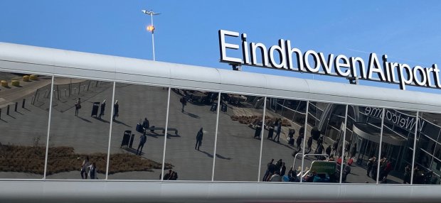
Eindhoven Airport is the first airport to map the expected runway and route use:

'BurenApp provides insight into the number of civil aircraft and flight routes in advance'
How many planes (civil air traffic) are flying in the region tonight and which runway direction and route do they follow? The BurenApp of Eindhoven Airport will answer that question from 1 December. Eindhoven Airport is launching - as the first airport - a tool that literally maps the runway direction and route forecast. Via this new tool in the BurenApp, local residents can see daily in advance what is expected in civil air traffic in their neighborhood. The app looks ahead per hour how many civil aircraft fly near Eindhoven Airport and from which direction they depart or land. At the beginning of next year, the tool even looks ahead 24 hours, so that the evening's air traffic is visible in the evening. Eindhoven Airport developed the tool in collaboration with the Royal Netherlands Air and Space Center (NLR) and the air traffic control of Eindhoven Air Base. Official weather data from the KNMI is used.
Roel Hellemons, general manager of Eindhoven Airport: “Eindhoven Airport likes to keep neighbors well-informed. We think that is important and we invest in that. For example, we have expanded the BurenApp with the runway and route forecast of civil air traffic. This allows local residents to see in advance what civil air traffic is expected in their neighborhood. We see this as an important step in informing our neighbors even better. ”
Christian Agerbeek, commander of airport services at Eindhoven Air Base, expects even more information about flight movements to contribute to greater understanding. "It is a useful tool for local residents to be able to anticipate future air traffic."
According to Henk Veerbeek, advisor of the Netherlands Aerospace Center, it is a great initiative to share this information with users. "The tool gives local residents more insight into the operation of Eindhoven Airport. The expectation is based on the weather forecast used by air traffic control. With the delivery of the expected runway use, NLR contributes to a useful expansion of the BurenApp."
Eindhoven Airport launched the BurenApp on 1 May last. With this first version of the
BurenApp was able to follow local current flight movements and directions.
The BurenApp also provides an explanation of noise and air quality as important aspects of liveability. Flying facts provide clarity about numerous (practical) issues that have to do with flying. In the app, local residents can read tailored news and background information about Eindhoven Airport. In addition, they can provide feedback on this. Eindhoven Airport is the first airport in the Netherlands to launch an app that is specifically aimed at local residents. With the app, Eindhoven Airport wants to stay in close contact with the immediate environment and gauge opinions about how local residents rate developments at the airport. The Eindhoven Airport BurenApp is free to download in the Apple Store and on the Google Play Store. No annoyance notifications can be made via the app. That is the website Samenopdehoogte.nl available.


